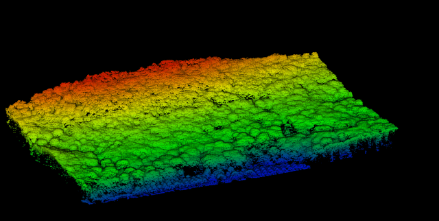
Here Below a 3D points cloud of the demonstration area of Caprarola generated by images aquired by Drone (eBee) and Structure for Motion Photogrammetry Process.
This area is located in the municipality of Caprarola, in the southern side of the Cimini mountain chain, easter of Vico’s lake. The site is located within a mosaic of ecologically diverse habitats, dominated by mesophilic forests of beech and turkey oak with chestnuts, maples and other hardwoods.
The municipality of Caprarola has a long tradition of forest planning and, since 1982, most of the municipal forest land is included in the Regional Natural Reserve of Vico’s lake.
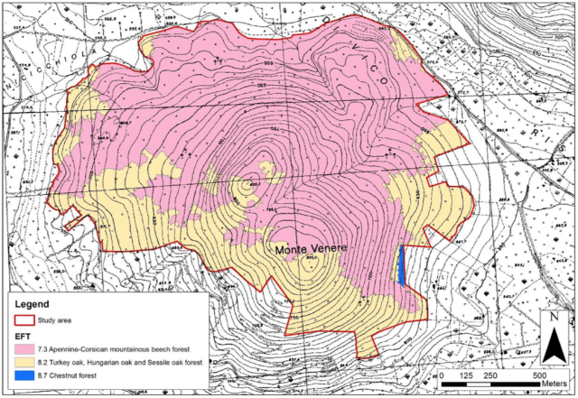
Here below the map obtained by visual interpretation of the images acquired by the eBee drone.
Some sample images from the LIDAR data acquired by our drone on Monte Venere – Caprarola.

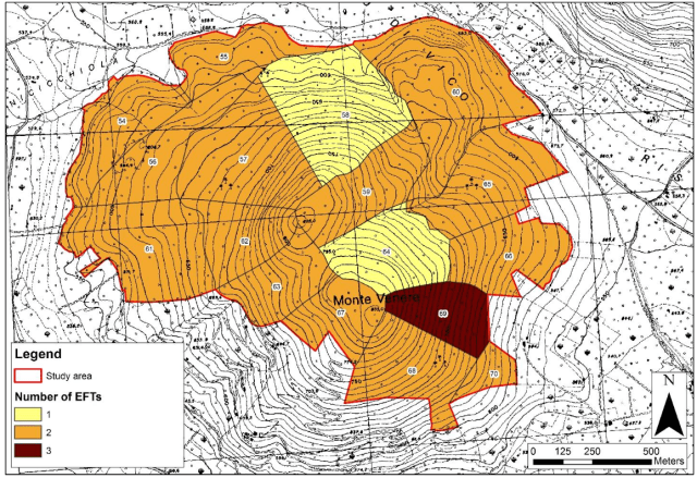
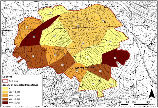
First maps of Sustainable Forest Management Indicators for the demonstration area of Caprarola produced within our project.
- Maps of density of defoliated trees within each forest management unit. Threshold values were determined according to quantiles.
- Maps of “number of tree species” expressed in term of number of EFTs within each forest management unit.